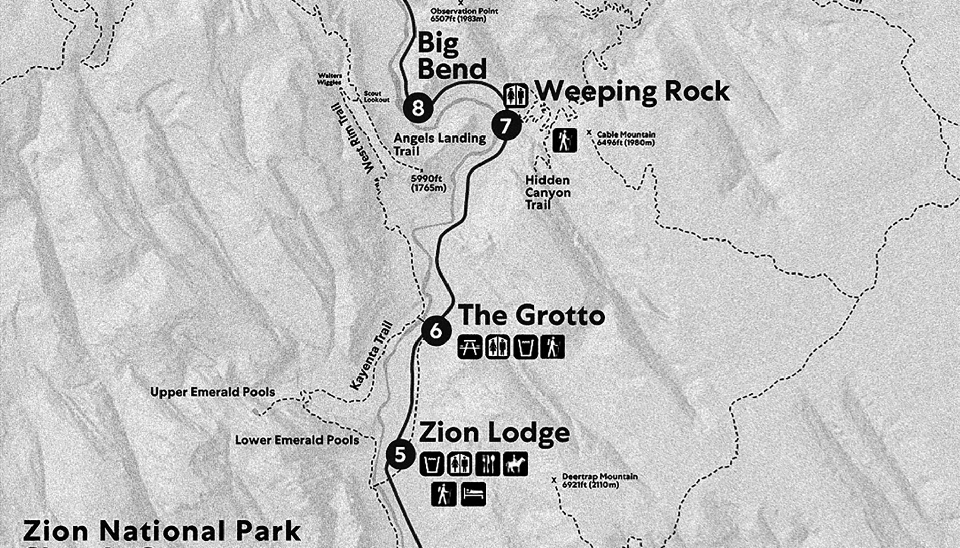
Making the Next Generation of Park Maps
High-resolution satellite imagery is a global research tool that creates knowledge about the surface of the earth. These images deliver information used by urban planners, biologists, engineers and business owners to create powerful, real-time maps. Currently, the Zion National Park Geographic Information System team relies on open-source low-resolution images as the foundation for the majority of their maps. This translates into lower-quality visitor center handouts and trail maps, as well as a less robust tool for management of park natural and cultural resources. In 2017 alone, Zion Park Rangers placed more than a million maps into visitor’s hands. The park also receives requests from law enforcement, Search and Rescue, archaeologists, and agencies monitoring wildfires to create area-specific maps, but current low-resolution, pixelated images limits their ability to deliver maps with the resolution and quality to be most effective.
This project funds the purchase of high-resolution hyper-spectral imagery for the Zion Geographic Information System team. These images will give Zion the capacity to produce a new level of accurate and detailed visitor maps. This powerful tool will also benefit projects across the park utilizing spatial data including identifying new archaeological sites, the monitoring of bighorn sheep, and mapping invasive species that threaten native plants. Access to the best technology allows the Zion team to better inform the public and to more powerfully collaborate with partners working to protect park resources and Zion’s visitors.

