Piloting Sky-High Image Capture
FUNDED: $12,000
MORE NEEDED: $0
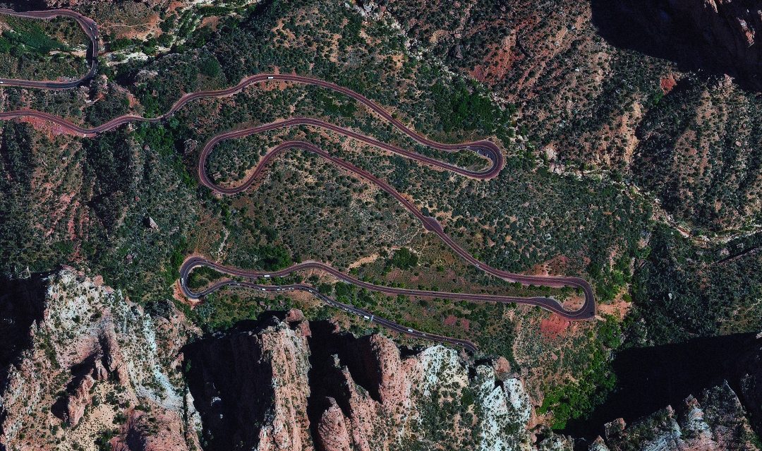
Cutting-edge technology creates an opportunity for a new level of imagery for management of park resources and emergency operations. Zion wants to utilize high-resolution mapping for these purposes.
The value of aerial 3-D image mapping has multiple applications for Zion National Park. Complex terrains have never been adequately mapped with intricate detail, and this project will increase understanding of this natural wonder. Importantly, this project will secure information that can be delivered to Search and Rescue personnel in rescue situations. This pilot project hopes to expand documentation in future years to capture images of historic park infrastructure including the Zion Park Lodge, as well as conducting wildlife monitoring and wildfire mapping.